#1: March 27th Sunday bush flight Author: Uhu_Rodion, Location: L'Aquila, ItalyPosted: Sat Mar 26, 2011 1:06 pm ---- A few hubs spreaded around help us to move quickly from area to area; this time we meet our first big hub, Vancouver, but reaching there will be harder than it seems, as we have to pass through narrow valleys in darkness, and nav instruments will be of little help - unless you climb beyond indicated cruise altitude, but that would be like cheating, isn't it? Instead, keep your eyes wide open!
#004 – CAY9 – Winfield – Wood Lake SPB (Canada) - > CYVR – Vancouver Intl (Canada)
Overall distance: 217,5 nm.
Estimated time: 1:16 h.
CAY9
ELSEN- Intersection- HDG 161° - leg 11,1 nm.
WP1- Waypoint- HDG 222° - leg 15,3 nm.
ON (Okanagan)- no VOR- NDB 356,0 kHz- HDG 146° - leg 24,8 nm.
WP2- Waypoint- HDG 198° - leg 12,1 nm.
WP3- Waypoint- HDG 275° - leg 11,3 nm.
WP4- Waypoint- HDG 320° - leg 5,5 nm.
DC (Princeton)- no VOR- NDB 326,0 kHz- HDG 277° - leg 19,2 nm.
WP5- Waypoint- HDG 240° - leg 3,7 nm.
WP6- Waypoint- HDG 290° - leg 8,5 nm.
WP7- Waypoint- HDG 239° - leg 3,9 nm.
WP8- Waypoint- HDG 205° - leg 14,4 nm.
WP9- Waypoint- HDG 296° - leg 7,6 nm.
WP10- Waypoint- HDG 198° - leg 5,5 nm.
HE (Hope)- no VOR- NDB 245,0 kHz- HDG 274° - leg 3,0 nm.
ADSIX- Intersection- HDG 231° - leg 45,1 nm.
SAVED- Intersection- HDG 260° - leg 15,2 nm.
CYVR- VOR 115,90 MHz- NDB 368,0 kHz- HDG 262° - leg 11,1 nm.
Elevation: 14 ft.
runways:
8R – 11.962 ft. - asphalt – ILS – IVR – 109,500 MHz - 081°
26L – 11.962 ft. - asphalt – ILS – IFZ – 110,700 MHz - 261°
12 – 7.290 ft. - asphalt – ILS – IMK – 111,100 MHz - 123°
30 – 7.290 ft. - asphalt - no ILS
8L – 9.918 ft. - concrete - ILS – ITL – 110,550 MHz - 081°
26R – 9.918 ft. - concrete - ILS – IRD – 111,950 MHz - 261°
26C – 3.500 ft. - concrete – no ILS
8C – 3.500 ft. - concrete – no ILS
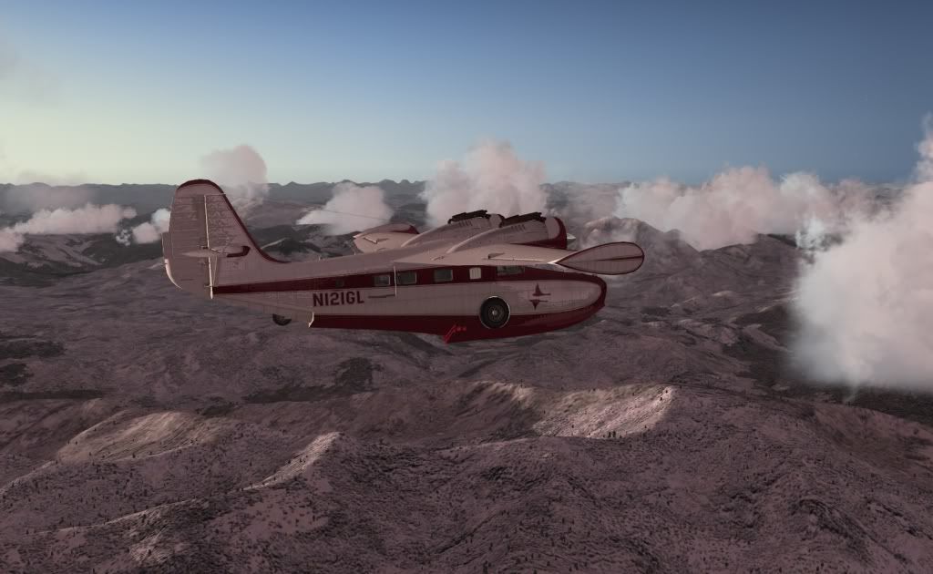
Aircraft: stock Grumman Goose
Cruise speed: 150 KIAS
Cruise altitude: 12.000 ft.
Time: 06:00 local –> 12:00 GMTW
Weather: real
The package including flight plan, map, and text file in pdf format with navigation data can be downloaded here:
-> www.com-central.net/ma...BF_004.zip
Marco
Last edited by Uhu_Rodion on Sat Apr 02, 2011 11:30 am; edited 1 time in total
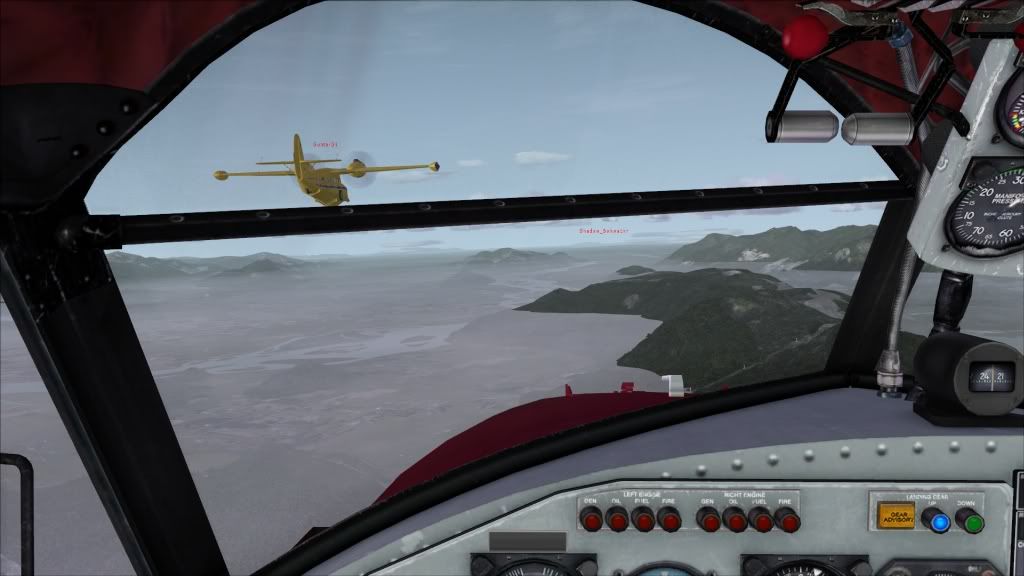
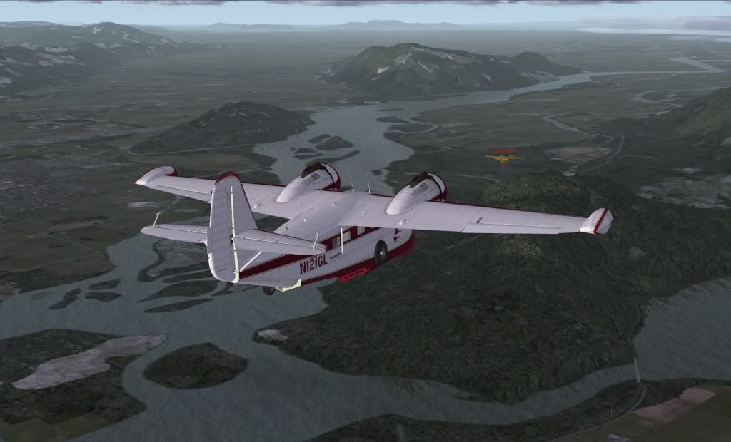
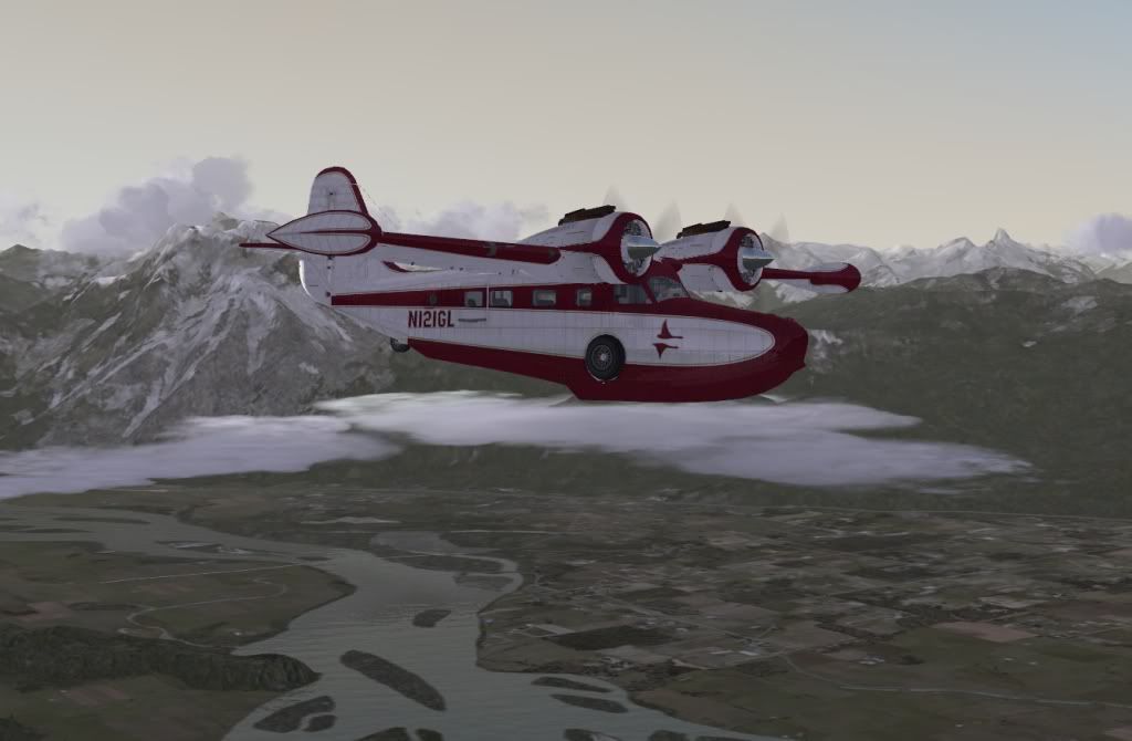
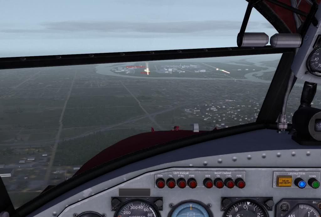
#2: Re: March 27th Sunday bush flight Author: JG300-Stoopy, Location: Group W benchPosted: Sun Mar 27, 2011 10:17 pm ---- WOW that was a GREAT flight today gents, thank for letting me join late!
The Orbx FTX Pacific NW scenery really comes into its own now that we are in the area - I now have a taste of what I've been missing in the Rocky Mountain Central area that we started out in.
Great morning for a flight - thanks Marco for coming up with a fantastic route, I can't wait to see where it goes from here!
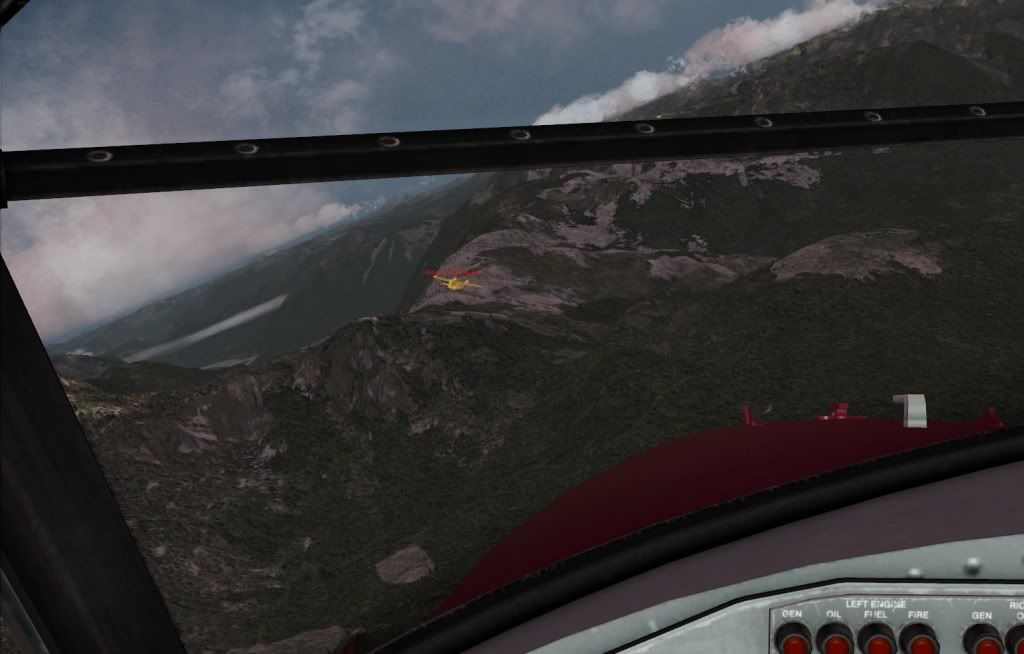
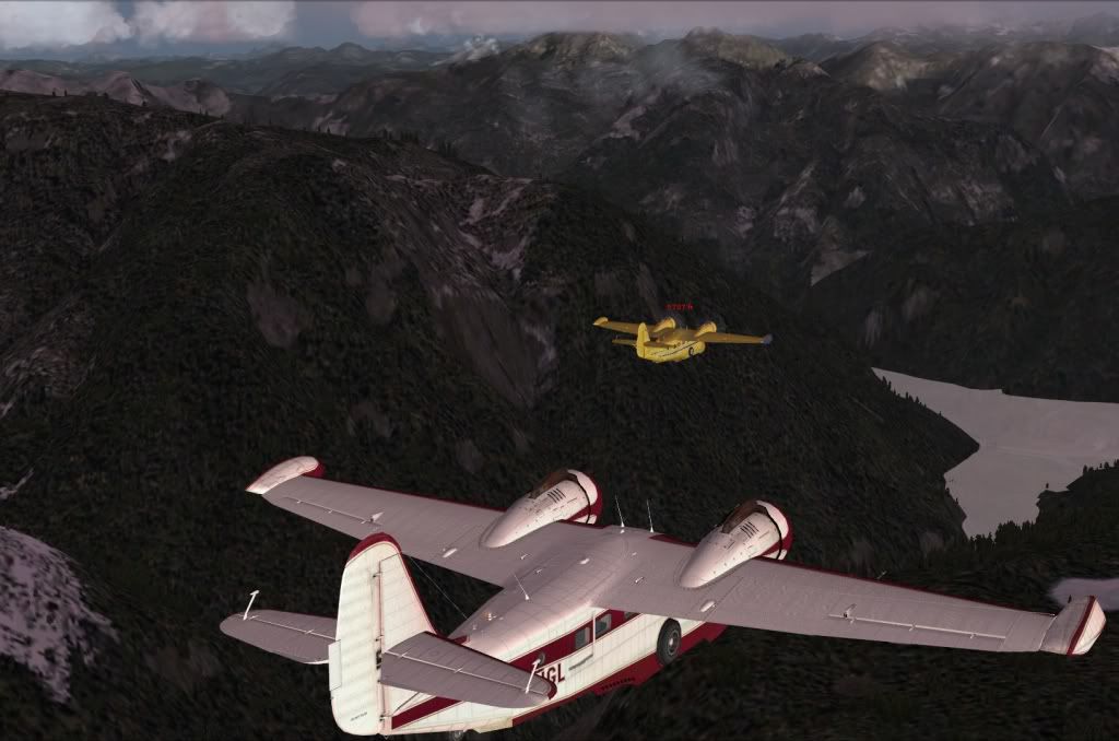
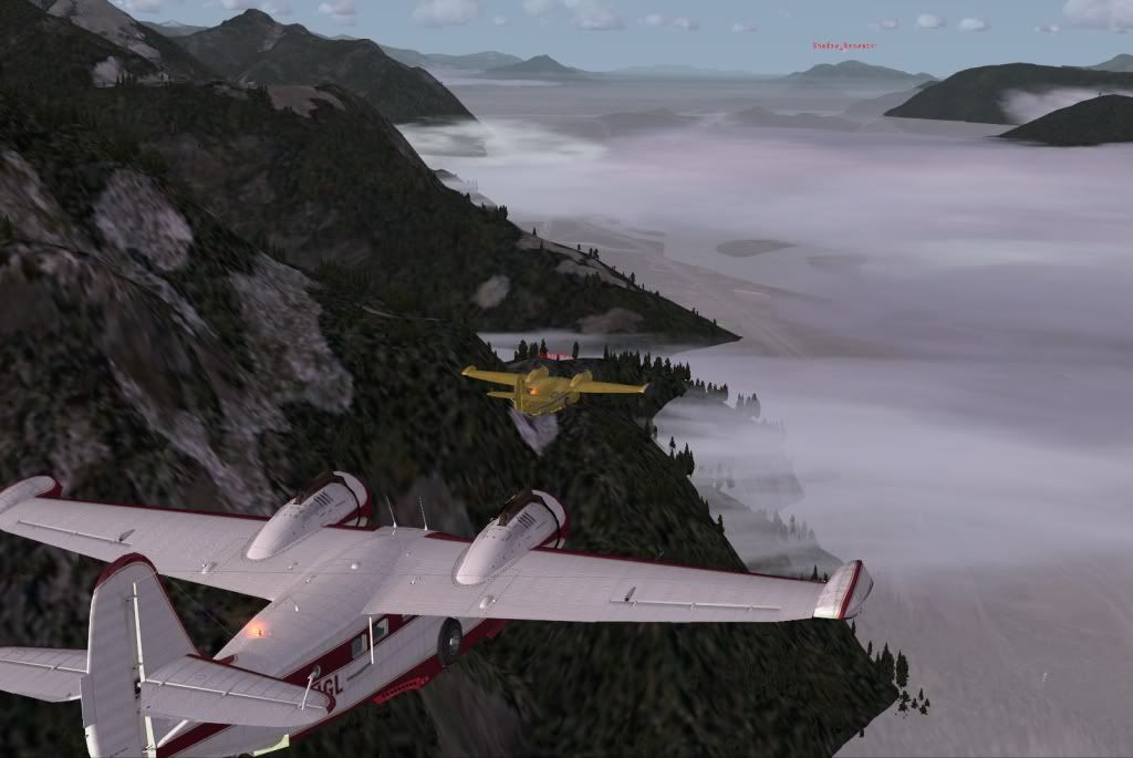
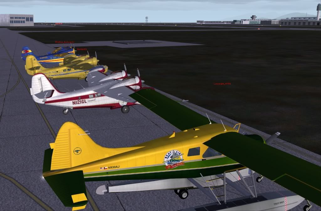
Pix, of course...
#3: Re: March 27th Sunday bush flight Author: Snorre, Location: Ziegenhain, GermanyPosted: Mon Mar 28, 2011 8:21 am ---- Nice pics Stoopy, (and a nice flight!) none from me this time, they are not worth publishing.
#4: Re: March 27th Sunday bush flight Author: Uhu_Fledermaus, Location: Blaricum, The Netherlands ~GMT+1Posted: Wed Mar 30, 2011 12:16 pm ---- sorry to have missed the fun fella's, but the flu got me down
great pics Stoop and good to hear that the FTX bug got ya
#5: Re: March 27th Sunday bush flight Author: Shadow_Bshwackr, Location: Central Illinois, USAPosted: Wed Mar 30, 2011 12:19 pm ---- Thanks Stoopy for the pics and thanks Marco for the flight plan!
Too bad you couldn't make it Fled, we missed 'ya... (you may want to check your plane for missing parts however... )
#6: Re: March 27th Sunday bush flight Author: Uhu_Fledermaus, Location: Blaricum, The Netherlands ~GMT+1Posted: Wed Mar 30, 2011 7:58 pm ---- so I left at dawn